A Tour of Events and Places Around the Loch,
the Underwater World & Research.
|
|
|
|
|
|
The
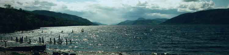
Great Glen of Scotland, is arguably the most significant geographical
feature in Britain, with the country's highest mountain, Ben Nevis
to the south and its greatest lake, Loch Ness to the north. The Glen
divides the Scottish Highlands in half; a geological fault torn across
the ancient Caledonian mountains 300 million years ago. Much more
recently, Ice Age glaciers scoured and smoothed the rift until the
last retreat about 10,000 years ago. Melt-water raised the sea-level
until the land, relieved of the burden of up to 1km of ice, rose to
bring the loch to its present altitude of 16m. The loch is connected
to the sea at its northern end by the River Ness which flows through
the city of Inverness.
Loch Ness is the greatest volume of freshwater in the British Isles,
containing more indeed than all the lakes and reservoirs of England
and Wales put together. This 23.5 mile stretch of water is famous
the world over for the legendary Loch Ness Monster and has also been
a route way for human activity for thousands of years. The loch's
surface conceals a surprising variety of habitats and remarkable dynamic
processes. The waters also hide objects of historical interest which
are slowly being revealed by the Loch Ness Project's "Operation
Groundtruth". |
Loch Ness Guide, a Tour and Underwater Exploration |
|